Log in
All resources
Create a design
235 Free Artworks of 1740 Maps
cartography
engraving
chalcography
grabados
fondo antiguo
calcografía
cartografía
libros del siglo xviii
lo stato presente di tutti i paesi e popoli del mondo naturale, politico, e morale ..., 1740
thomas salmon
environs de paris levés géométriquement by jean delagrive (1731-1742)
maps of paris from bibliothèque nationale de france
environs de paris levés géométriquement by jean delagrive (1731-1742)
maps of paris from bibliothèque nationale de france
environs de paris levés géométriquement by jean delagrive (1731-1742)
maps of paris from bibliothèque nationale de france
environs de paris levés géométriquement by jean delagrive (1731-1742)
maps of paris from bibliothèque nationale de france
environs de paris levés géométriquement by jean delagrive (1731-1742)
maps of paris from bibliothèque nationale de france
1747 persia map by emanuel bowen
1740s maps of georgia
environs de paris levés géométriquement by jean delagrive (1731-1742)
maps of paris from bibliothèque nationale de france
environs de paris levés géométriquement by jean delagrive (1731-1742)
maps of paris from bibliothèque nationale de france
environs de paris levés géométriquement by jean delagrive (1731-1742)
maps of paris from bibliothèque nationale de france
environs de paris levés géométriquement by jean delagrive (1731-1742)
maps of paris from bibliothèque nationale de france
maps of paris from the david rumsey historical map collection
environs de paris levés géométriquement by jean delagrive
parts of old maps of hamburg
maps of hamburg-sternschanze
1747 persia map by emanuel bowen
1740s maps of georgia
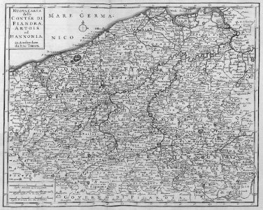
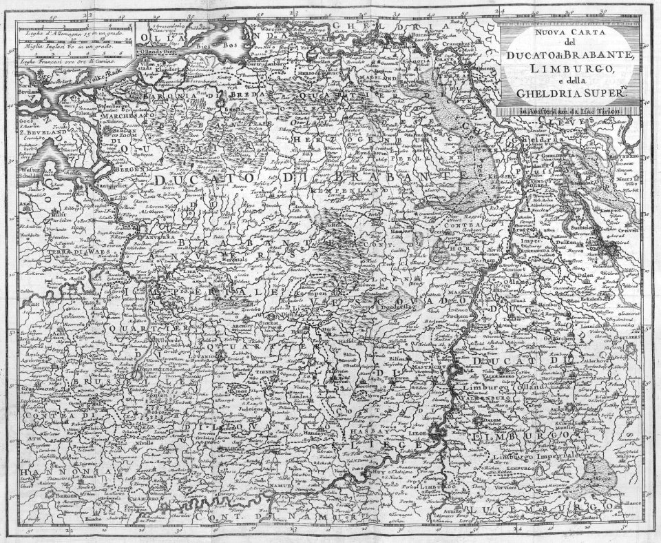
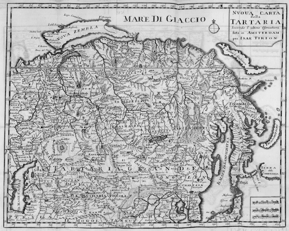
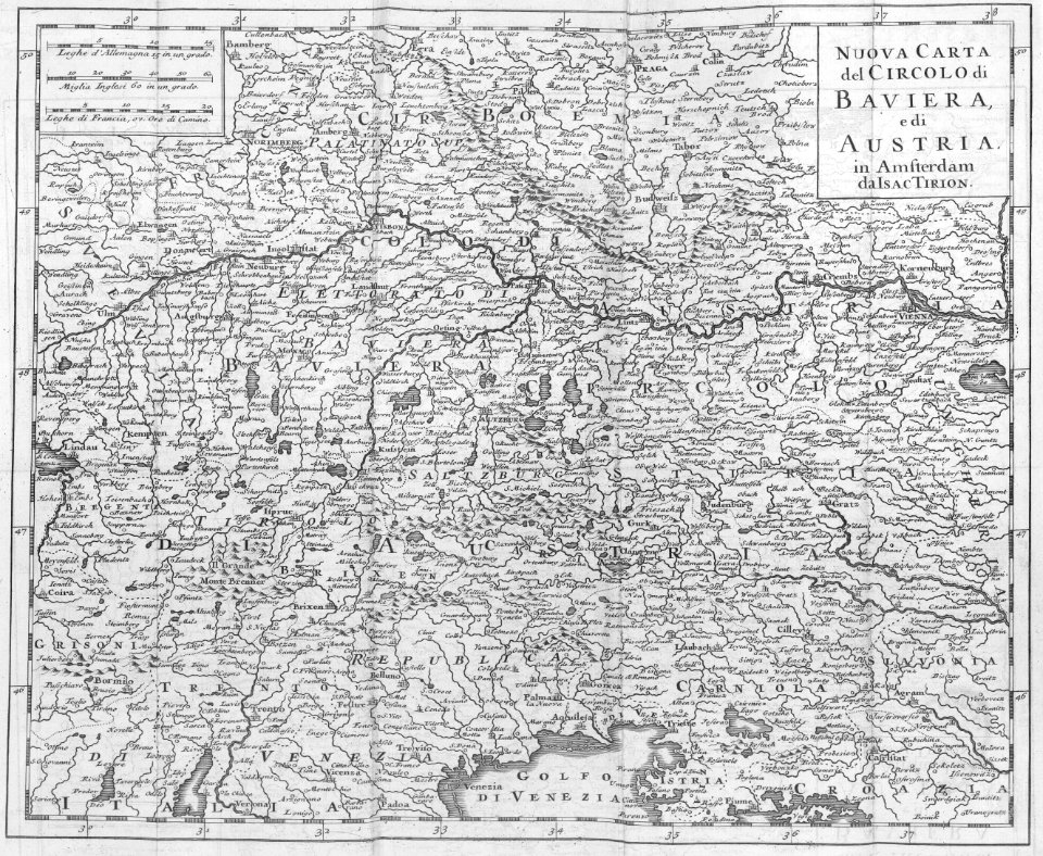
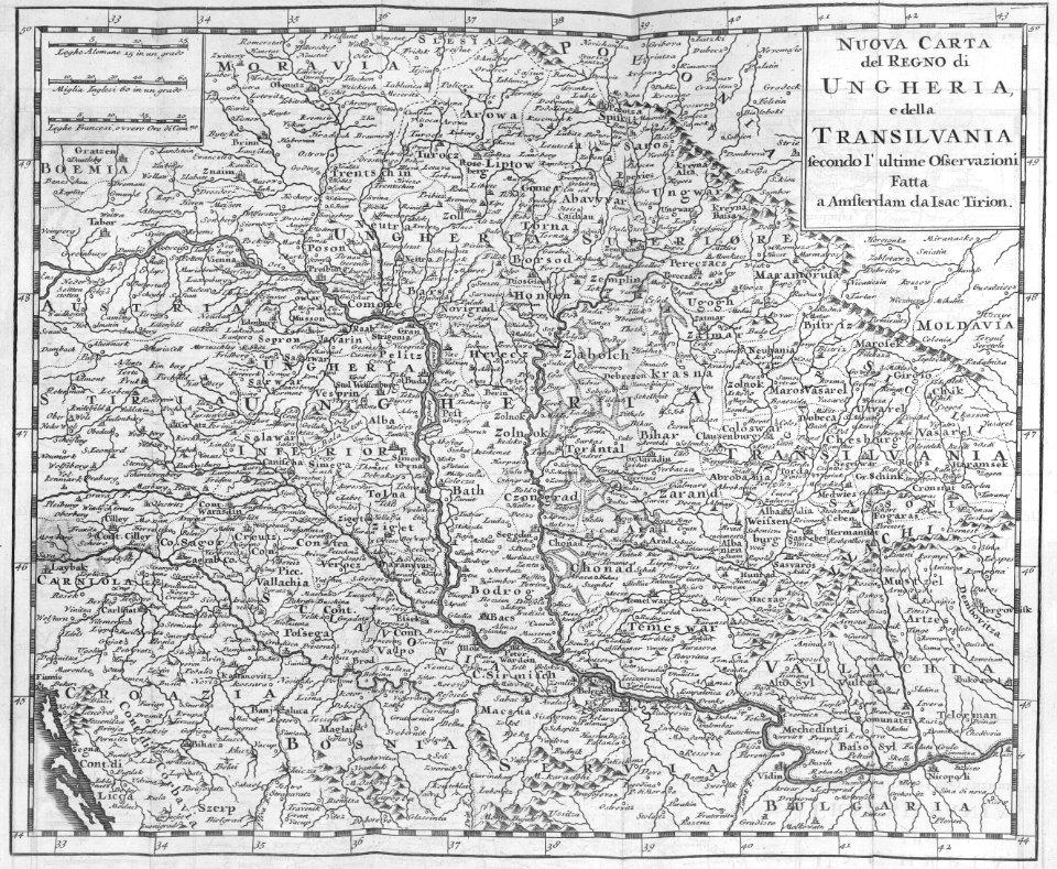
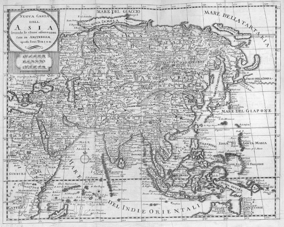
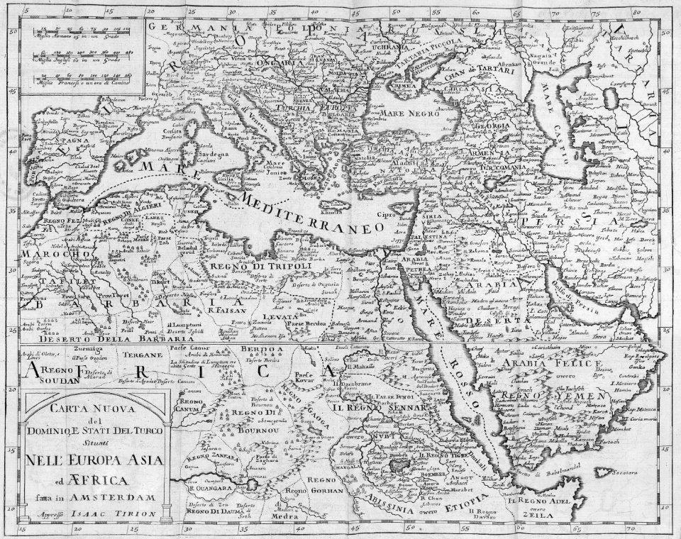
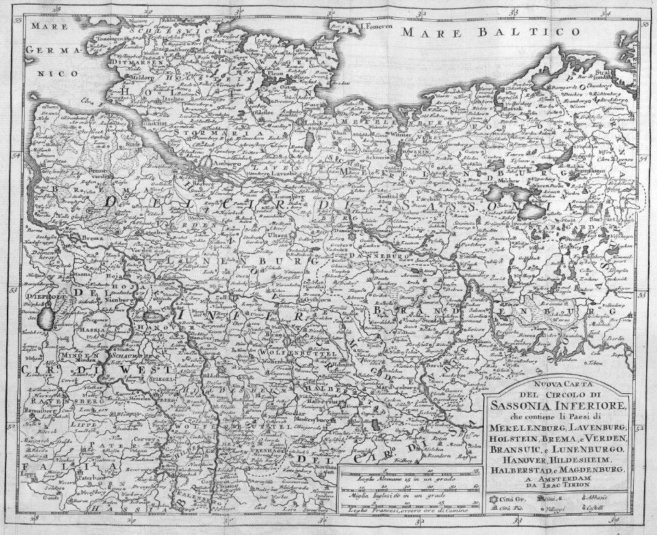
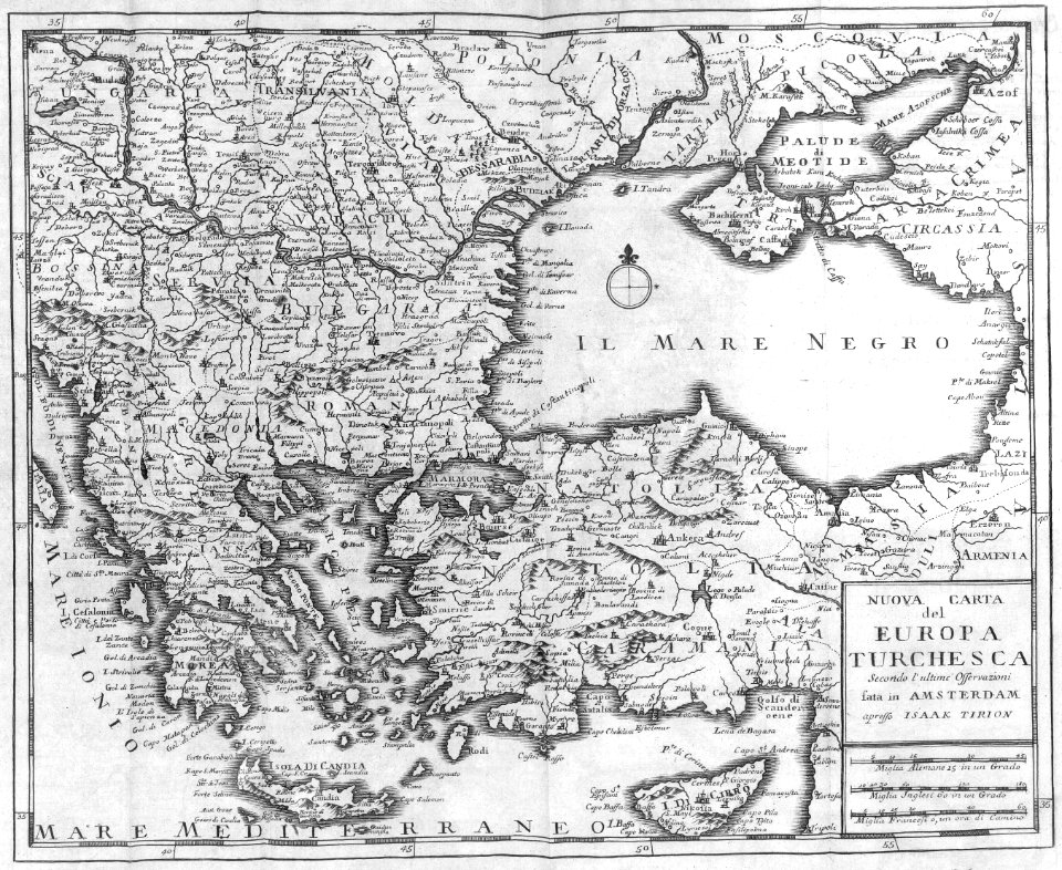
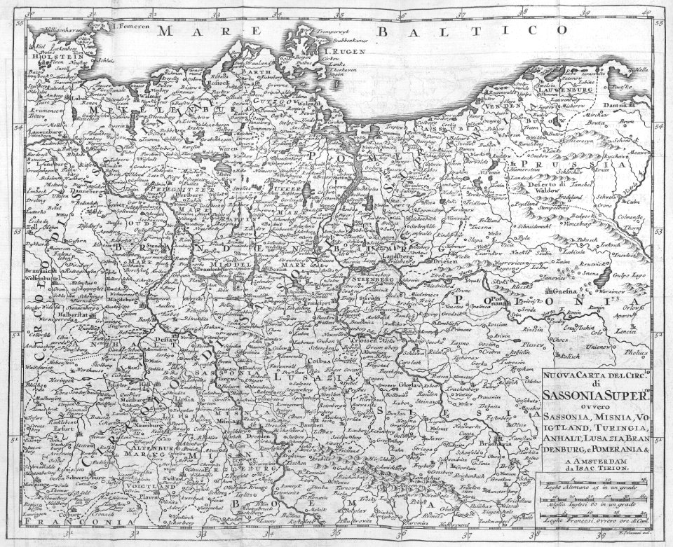
maps by isaak tirion
old maps of holland
18th-century maps of panama
war of jenkins' ear
1740s maps of the caribbean
philippe buache
maps by pieter mortier
maps from gallica
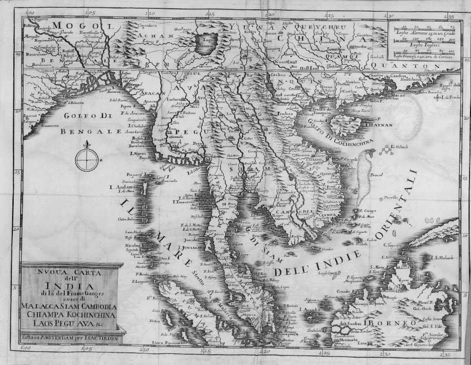
old maps of southeast asia
maps by isaak tirion
18th-century maps of strasbourg
1740s maps of france
18th-century portrait paintings in tate britain
male portrait paintings by francis cotes
maps of circumnavigations of the world
1740s maps of the world
eran laor cartographic collection
martin engelbrecht
maps from university of amsterdam special collections
atlas der neederlanden
eran laor cartographic collection
joseph goupy
eran laor cartographic collection
joseph goupy
eran laor cartographic collection
joseph goupy
old maps of saxony
pieter schenk (ii)
eran laor cartographic collection
william henry toms
synopsis universae philologiae
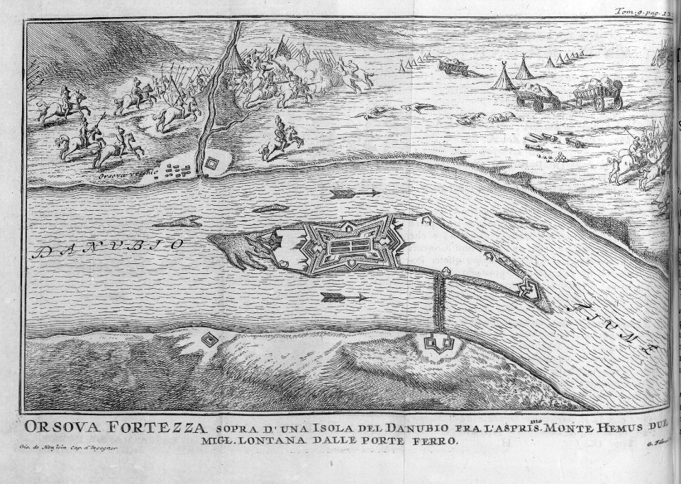
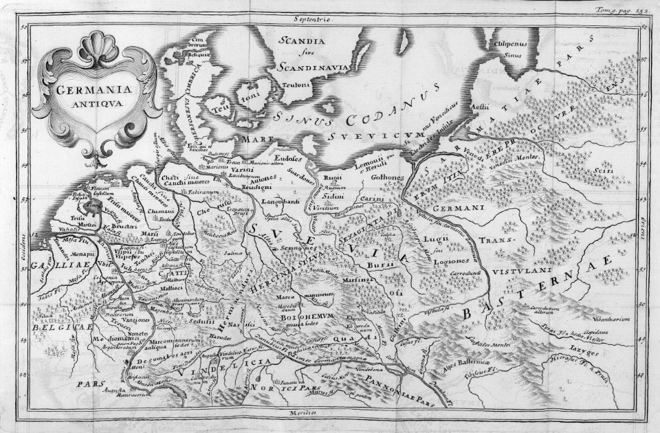
1741 maps of europe
maps made in the 18th century
johann david schleuen
eran laor cartographic collection
isaak tirion
old maps of île saint-louis
maps of paris in the 1740s
maps in the british museum
old maps of hampshire
old maps of norway
guillaume sanson
georg balthasar probst (1732-1801)
eran laor cartographic collection
1744 maps of asia
baroque painting
cartography
maps
maps from gallica
old maps of paris
cartography
maps
cartography
maps
georg balthasar probst (1732-1801)
eran laor cartographic collection
china
maps
cartography
maps
cartography
maps
india
maps
cartography
maps
cartography
maps
cartography
maps
cartography
maps
cartography
maps
cartography
maps
cartography
maps
cartography
maps
cartography
maps
cartography
maps
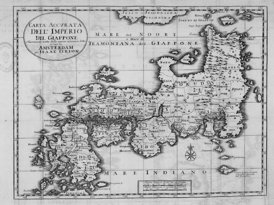
japan
maps
cartography
maps
cartography
maps
old maps of the dutch east india company
1740s maps of arabia
cartography
maps
africa
maps
cartography
maps
cartography
maps
cartography
maps
cartography
maps
cartography
maps
cartography
maps
cartography
maps
cartography
maps
cartography
maps
cartography
maps
india
maps
maps in musée de la compagnie des indes
images requiring restoration
maps by guillaume delisle showing history
old maps of alexander the great's empire
maps of texel
caspar specht
plants
maps
cartography
maps
1740s maps of the united kingdom
maps in the british museum
cartography
maps
cartography
maps
cartography
maps
cartography
maps
cartography
maps
the british monarchy (1743)
maps in the british museum
maps from university of amsterdam special collections
atlas der neederlanden
maps from university of amsterdam special collections
atlas der neederlanden
jean-fréderic phélypeaux
guillaume dheulland
maps in the rijksmuseum amsterdam
1740s maps of africa
carte de perse by guillaume delisle (1724)
eran laor cartographic collection
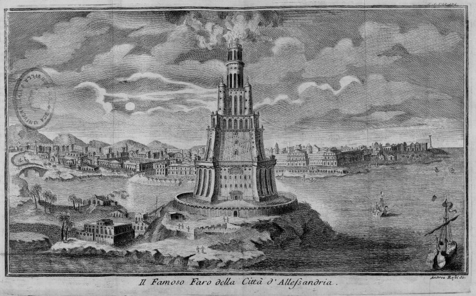
egypt
maps
william henry toms
henry popple
jean-fréderic phélypeaux
guillaume dheulland
maps by richard william seale
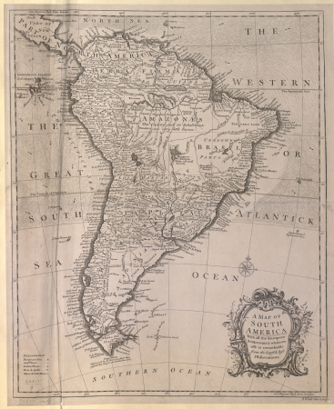
1740s maps of south america
cartography
maps
cartography
maps
cartography
maps
1740s maps of ireland
1748 fleurons
illustrations de histoire naturelle - tome i - de seve 1749
1740s maps of the americas
1740s maps of ireland
1749 fleurons
maps in the library of congress
cartes et plans de l'amerique
101 - 200 of 235
Next page
/ 3


![Persian and Indian Ocean Coastline Map (1740), Jakob van der Schley, [1773]](https://cdn.creazilla.com/illustrations/10001597328/persian-and-indian-ocean-coastline-map-1740-jakob-van-der-schley-1773-sm.jpg)


![Persian and Indian Ocean Coastline Map (1740), Jakob van der Schley, [1773]](https://cdn.creazilla.com/illustrations/10000761796/persian-and-indian-ocean-coastline-map-1740-jakob-van-der-schley-1773-md.jpg)
![Persian and Indian Ocean Coastline Map (1740), Jakob van der Schley, [1773]](https://cdn.creazilla.com/illustrations/10001190018/persian-and-indian-ocean-coastline-map-1740-jakob-van-der-schley-1773-md.jpg)